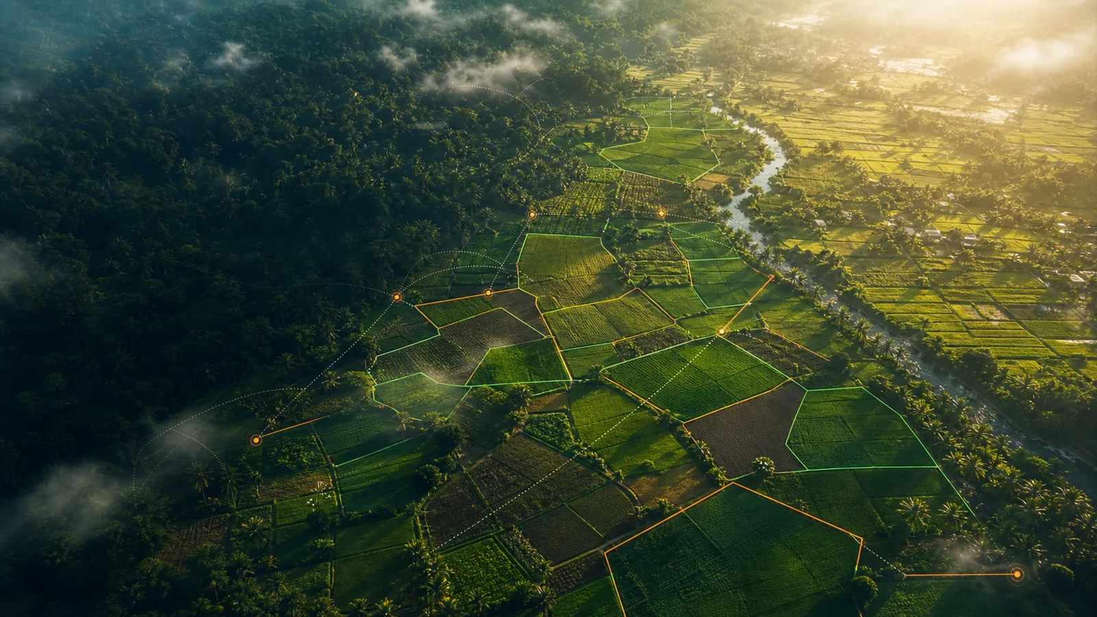
Farmer and field team
Capture the real plot
Step 1
Farmer onboarding
A cooperative or field officer registers the farmer, commodity, expected volume, and village context.
Step 2
Boundary capture
The officer maps the farm plot on mobile. In the MVP demo, points can also be placed by clicking the map.
Step 3
Evidence collection
Photo proof, timestamp, GPS accuracy, and polygon geometry are stored with the plot record.
Step 4
Offline-first sync
If signal is weak, the data stays on the device and syncs later when the team reconnects.